Kroll Map Company offers high resolution aerial images, cropped to your specifications, and/or re-projected for your CAD/GIS software. These images are public domain and can be reproduced and distributed without royalty. Most Western Washington areas are dated 2017 or later. Minimum charge for digital images is $68.00. Custom plots are available for $9.00 per square foot, with a $54.00 minimum.

Aerial Photos

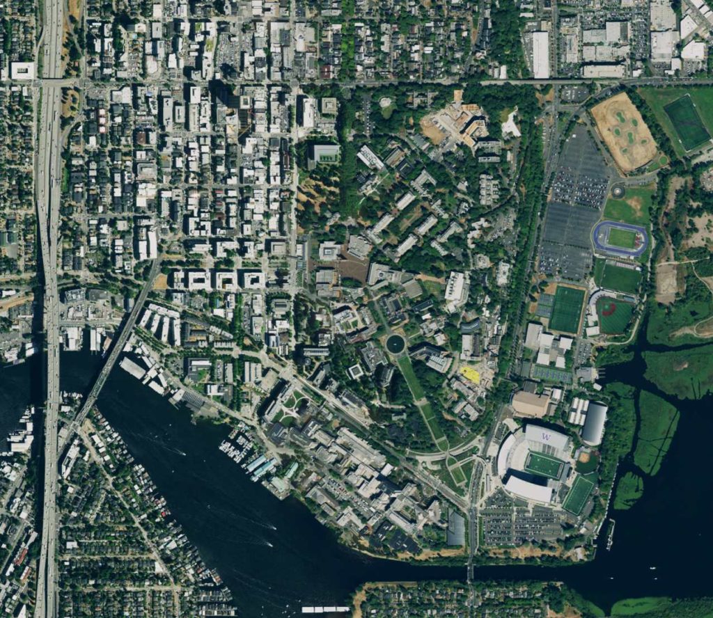
South Lake Union Area Aerial Map Detail